Network Load Capacity Map User Guide
Search for a known location
You can use the Search facility provided in the top left corner of the map to enter and search for a town or an address, a feeder, substation or distribution transformer. The arrow to the left of the entry field is a drop down that allows you to search for a specific object type (Address, Feeder, Substation, Distribution Transformer or All).

Layers
Once your area of interest is found, you can select the features you wish to have represented on the map using the Layers tool on the toolbar.

Bulk Supply Points and Zone Substation Layers
These layers show the location of Bulk Supply Points and Zone Substations using these symbols :
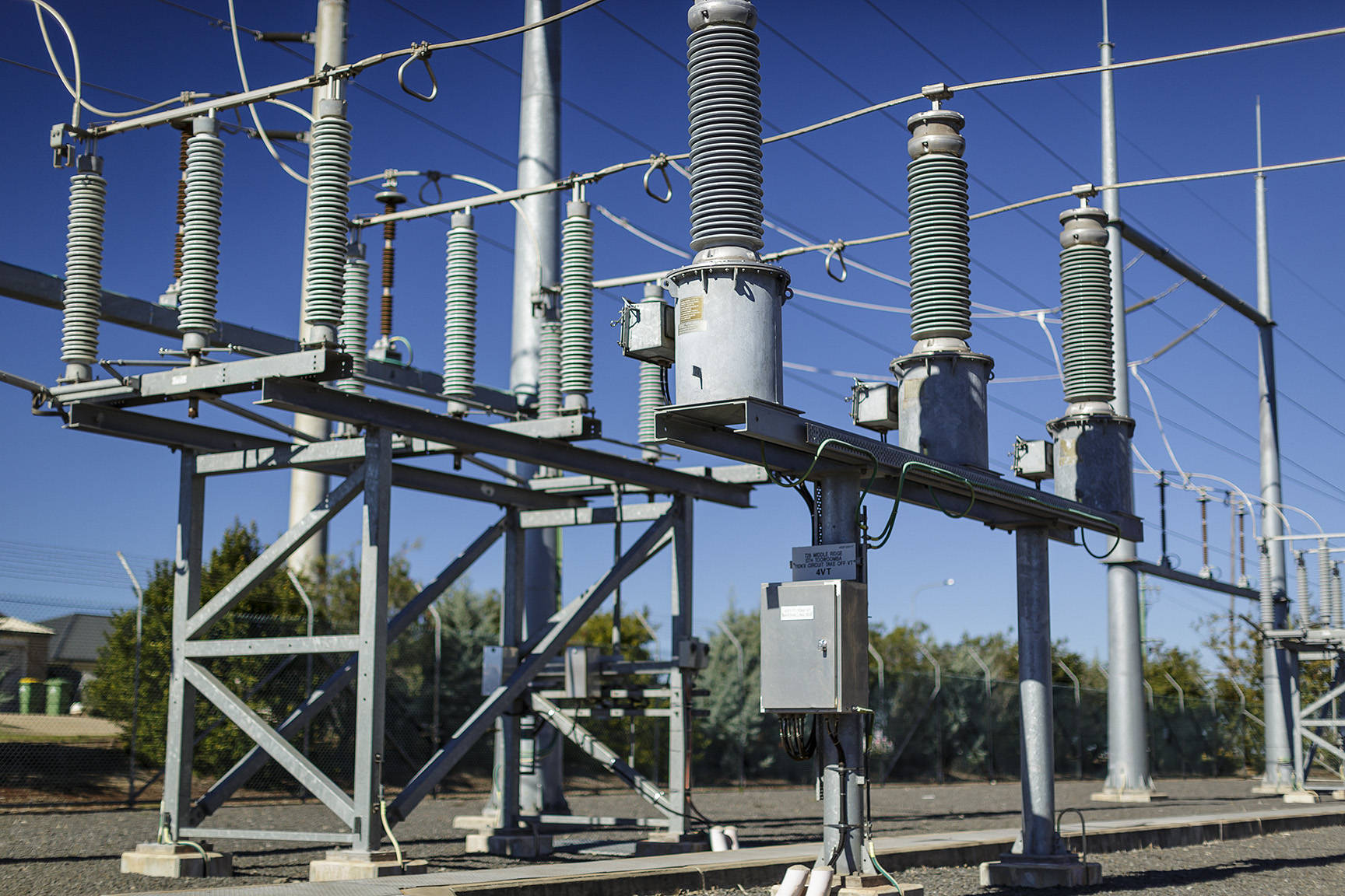
 is the symbol for a Bulk Supply Point. A bulk supply point is where the transmission network (110kV – 330kV) is stepped down to sub-transmission voltage levels (33kV – 66kV) to supply the Zone Substations.
 is the symbol for a Zone Substation. A zone substation is where transmission or sub-transmission network is stepped down to distribution voltage levels (11 – 33kV). Zone substations normally have a number of ‘distribution feeders’ which are the power lines and cables which supply the Distribution Transformers.
Distribution Transformer Layer
 is the symbol for a Distribution Transformer. A distribution transformer is where the distribution network is stepped down to Low Voltage (LV) levels (230V – 400V) for supplying the majority of houses and businesses.
On the map, the distribution transformer symbol is coloured by percentage of distribution transformer load capacity available.

Clicking on the Distribution Transformer symbol will provide the information below :

CER Layer
 represents the CER (Customer Energy Resource) export capacity available based on aggregated CER on a Distribution Transformer. The predominant CER in the Ergon and Energex networks is rooftop solar. A CER symbol will always be next to a distribution transformer symbol, but not all distribution transformers will have CER.
On the map, the CER symbol is coloured by percentage of CER export hosting capacity available.

Clicking on the CER symbol on the map will provide the information below :

MV Feeder Layers
Coloured By Voltage Layer
The ‘Coloured by Voltage’ layer uses different colours to indicate the voltage of the distribution feeder. Feeders which supply SWER (Single Wire Earth Return) systems will have different voltages depending on which section of line you select.

Coloured By Estimated Feeder Load Capacity Layer
The ‘Colour by Estimated Feeder Load Capacity’ layer provides a colour coded representation of the distribution feeders based on the capacity ranges below:

The Feeder Load Capacity Available is relative to the head of the feeder at the zone substation. It is indicative only and may not be available at all points on the feeder due to a range of factors including distance from the Zone Substation and rating of upstream network infrastructure. The value is provided as a broad indication of available capacity, and it should not be assumed that the full amount indicated in the information below would be available to all connection requests.

Distribution Transformer Area of Supply Layer
This layer colours land parcels by the Distribution Transformer that supplies them.

Clicking on one of the land parcels will produce a popup that shows the distribution transformer which supplies the connection at that address:

Legend
The legend for the symbols used in each active layer can be viewed from the toolbar.

Zoom
Different layers will be visible at different levels of zoom. Zoom in to identify the lines, distribution transformers and other assets.
Some items will not appear or be greyed out at certain levels of zoom, and will only appear when the map is zoomed in.
Use Case Example 1
You want to find out the maximum size of rooftop solar that can be installed at a particular address. One of the key considerations is how much spare capacity the electricity network in that particular area has to host the rooftop solar PV. You can use the Hosting Capacity Map to find the address using the search tool:
Once you have zoomed in to the address, you can use the ‘Distribution Transformer Area of Supply’ layer to locate the distribution transformer that supplies the LV network at that address. Distribution transformers are the triangle symbol which will be coloured by available load capacity. Above the distribution transformer symbol is the CER symbol which is coloured by available CER export hosting capacity. See the legend for the scale. In the example below, the address is the property with the red ‘X’ and the distribution transformer supplying the address is the one near the roundabout.

The CER symbol is red, which means that it may only have 5 – 10 % of its CER export hosting capacity left. In this example the distribution transformer is grey which indicates that you would need to contact Ergon or Energex to get information about load capacity.
Clicking on the CER symbol will show a popup providing information on the amount of CER already installed on that distribution transformer, and an indication of how much more CER export could potentially be added in kW :

The information shows that an additional 19.55 kW of CER export could be added to this distribution transformer before it exceeded permitted limits, however not all of that capacity may be available to your address and a connection enquiry should be made. Factors that can impact the amount of CER that you are able to install include your distance from the distribution transformer, the rating of the cables and lines connecting your property to the distribution transformer, whether you are seeking a fixed or dynamic CER connection and the size and types of other loads and CER already connected to the distribution transformer.
Use Case Example 2
Your client wants to increase production capacity in their business by installing new equipment. The new equipment will add 150 kVA to their authorised demand and you would like to get an indication of whether the local network can handle the additional load.

The dark green colour of the distribution transformer symbol indicates that there could be 40 – 100% of the transformers load capacity available. Clicking on the distribution transformer symbol opens the popup with the transformer and load data :

The dark green colour of the feeder indicates that there could be 40 – 100% of feeder capacity available. Clicking on a section of the feeder opens the popup with the feeder data. Note that this information may also be available as a page in the popup when the distribution transformer is selected. 
While it appears that this transformer is lightly loaded and an additional 242.73 kVA may be able to be added to it, and there is 2.763 MVA of available feeder capacity, your request for 150kVA at the address could be limited by a number of other factors including your distance from the transformer, the rating of the cables and lines connecting the property to the distribution transformer, the type of load your client is connecting and the size and type of existing loads in the area. You should not assume that full capacity is available to you and a connection enquiry must be made to confirm that your clients new equipment can be connected.